

The Geomatics and Planning Laboratory, Department of Urban and Regional Planning, Faculty of Engineering, Diponegoro University successfully organized the 6th Geoplanning International Conference and Scientific Consortium on Wednesday–Thursday, August 6–7, 2025. This event is a 2-yearly agenda of the Geomatics and Planning Laboratory. This year, the 6th Geoplanning was chaired by Prof. Dr.rer.nat. Imam Buchori and supported by the World Class University (WCU) Undip program. The theme of this event was “Enhancing Urban Resilience Through Disaster Risk Spatial Modeling”. The theme was divided into 4 sub-themes, as follows:
- Transformative Spatial Modeling for Hydrometeorological Disaster Risks Mitigation
- Spatial Dynamics of Urban Expansion and Climate-Induced Disaster Vulnerability
- Participatory GIS and Inclusive Approaches for Community Based Disaster Risk Reduction
Integrated Spatial Modeling for Multi-Hazard and Environmental Risk Assessment
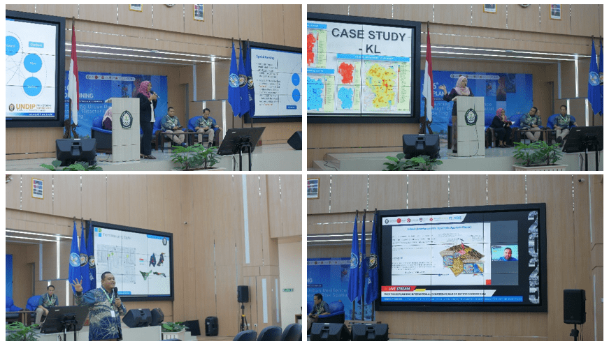

The 6th Geoplanning event was opened by the Vice Dean for Academic and Student Affairs of the Faculty of Engineering of Undip, Prof. Ir. Nita Aryanti, S.T., M.T., Ph.D., IPM. The 6th Geoplanning invited 5 keynote speakers with various fields of expertise from leading universities around the world. The three keynote speakers who attended in person were Prof. Dr.-Ing. Wiwandari Handayani (University of Diponegoro), Assoc. Prof. Sr. Dr. Siti Aekbal (Universiti Teknologi MARA, Malaysia), and Assoc. Prof. Dr. Anang Wahyu Sejati (University of Diponegoro). The two keynote speakers who participated online were Dr. Öğr. Üyesi Mustafa Üstüner (Samsun University, Turkey) and Prof. Dr. Alexander Zipf (Heidelberg University, Germany). The 6th Geoplanning was attended by over 100 participants, including academics, researchers, and practitioners from universities, government agencies, and private sectors across various countries.